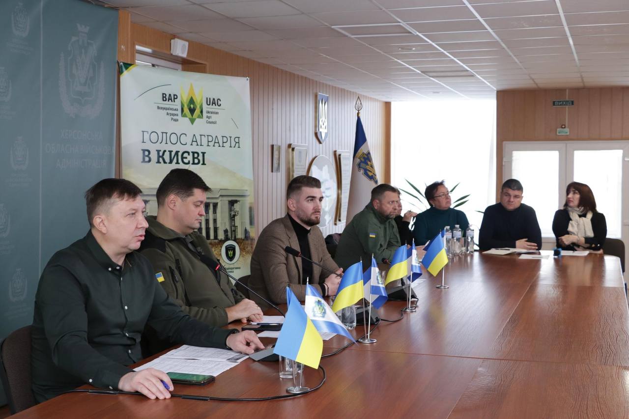
Today, November 2, the Ukrainian Agri Council presented An interactive map of the damages to the Ukrainian agricultural sector. The map was developed with the support from the USAID Agriculture Growing Rural Opportunities Activity in Ukraine (AGRO).
The event took place in the Kherson Regional Military Administration among the participants were government representatives, public organizations, lawyers, and farmers.
The portal was created to show the losses to the Ukraine’s agricultural sector as a result of Russian military aggression and to help agricultural producers record war crimes for future reparations.
The interactive map will become a reliable source of data for the world community, potential investors and Ukrainian public authorities.
The agricultural sector of Ukraine is working in extremely difficult wartime conditions because of daily new destruction and other negative factors, - emphasizes the Minister of Agrarian Policy and Food of Ukraine Mykola Solskyi.
"We are facing a war, low grain prices, and severe weather conditions. There are more challenges now. One of them is the amount of direct and indirect destruction caused by Russian aggression. It is very important that such organizations as USAID AGRO and UAC have initiated and presented the Interactive Map of Destruction. This is one of those steps that will allow to document the losses of the agricultural sector and in the future to promote compensation, " the minister said.
According to experts' estimates, the direct losses to the Ukraine’s agricultural sector as a result of the war have reached more than $6 billion, and the total losses - more than $30 billion.
Chairman of the Verkhovna Rada Committee on Finance, Tax and Customs Policy, Danylo Hetmantsev, believes that the recovery of the agricultural sector after the victory should bring it to a higher level. In order to compensate losses, it is important to record them in detail.
"We must understand how and how much to impose, have a clear legal system that will be acceptable for taking cases to international courts. Therefore, we desperately need to record the destruction in order to document sufficient evidence of war crimes and promote compensation after our victory," says Danylo Hetmantsev.
The world should know what is happening in Ukraine, what is the state of the agricultural sector, which feeds many countries.
Dmytro Kokhan, Adviser to the Chair of the Ukrainian Agri Council, says: "The interactive map is a tool that displays all information about the damaged agricultural enterprises in Ukraine and is constantly updated. All interested agricultural enterprises can join, we encourage them to enter data. First, the interactive map is created to document damages and crimes in farmers’ interests. Secondly, the international organizations that make political decisions regarding support and compensation can also see the data. It is important that private investment and charitable funds have access to this information. It enables them to find on the map potential enterprises for further assistance in their recovery."
The Vkursi Agro project became the technical developer of the map. The map is bilingual: information is provided in Ukrainian and English. The portal contains wide possibilities for searching and downloading data, photographs of destruction, displays information about every enterprise, damaged land plots, melioration objects, etc. A simple algorithm for adding new objects has also been developed, there is an opportunity to get a feedback.
Agricultural enterprises can participate in the collection of the war’s evidence base at the resource - agrirecovery.com.ua .
Watch the presentation at the link - https://www.youtube.com/watch?v=AiWkRZgRLlc
The event was possible thanks to the generous support of the American people provided through the USAID’s Agriculture Growing Rural Opportunities Activity (AGRO) implemented by Chemonics International. The authors views do not necessarily reflect the view of USAID or the United States Government.
Wednesday, 2 November 2022